New Delhi: The Indian Army is laying the groundwork for the induction of a raft of new systems and technologies that will lead to improved battlefield transparency, enable commanders to make faster and more accurate decisions, and tighten the so-called sensor-to-shooter loop(time taken to acquire and attack targets).
The overarching plan to boost capabilities includes the setting up of a mini Gati Shakti platform, named Project Avagat, that will bring in multi-domain spatial awareness on a single GIS (geographic information system) platform, officials familiar with the development said on Friday.
Among the key projects being implemented by the army is Project Anuman for providing accurate weather forecasts to the army’s deployments along the China border, where India and China have been locked in a border row for three years, for more efficient operations.
The projects being pursued are aimed at transforming the army into “a future-ready, technology-driven, lethal and agile force,” said one of the officials cited above, asking not to be named.
These include implementing a new battlefield surveillance system, upgrading the artillery combat command and control system (ACCCS) with highly accurate defence series maps, a new situational awareness module for the army (SAMA) and a system for better situational reporting, Hindustan Times has learnt. Army chief General Manoj Pande is monitoring the implementation of the projects. The army is observing 2023 as the Year of Transformation.
The army project based on the Gati Shakti model has been named Avagat, and will be operationalised in a phased manner.
It will bring together inputs from “the operational domain, logistics inputs, satellite imagery data, and topographic and meteorological inputs” on a common platform, and the system is expected to be fully operational by the year-end, said a second official, who also asked not to be named.
Launched in 2021, Gati Shakti is a digital platform that has brought 16 ministries, including railways and roadways, together for integrated planning and coordinated implementation of infrastructure connectivity projects. The army has been inspired by Gati Shakti and has emulated the platform’s design, he added.
“Leveraging technological advantage remains central to all perspective plans undertaken by the army for force modernisation by focusing on capacity enhancement and capability development. The present times are marked by the existence of an unprecedented and unique eco-system, both within and outside the army, and the army is well poised to seize the opportunity,” said the first official.
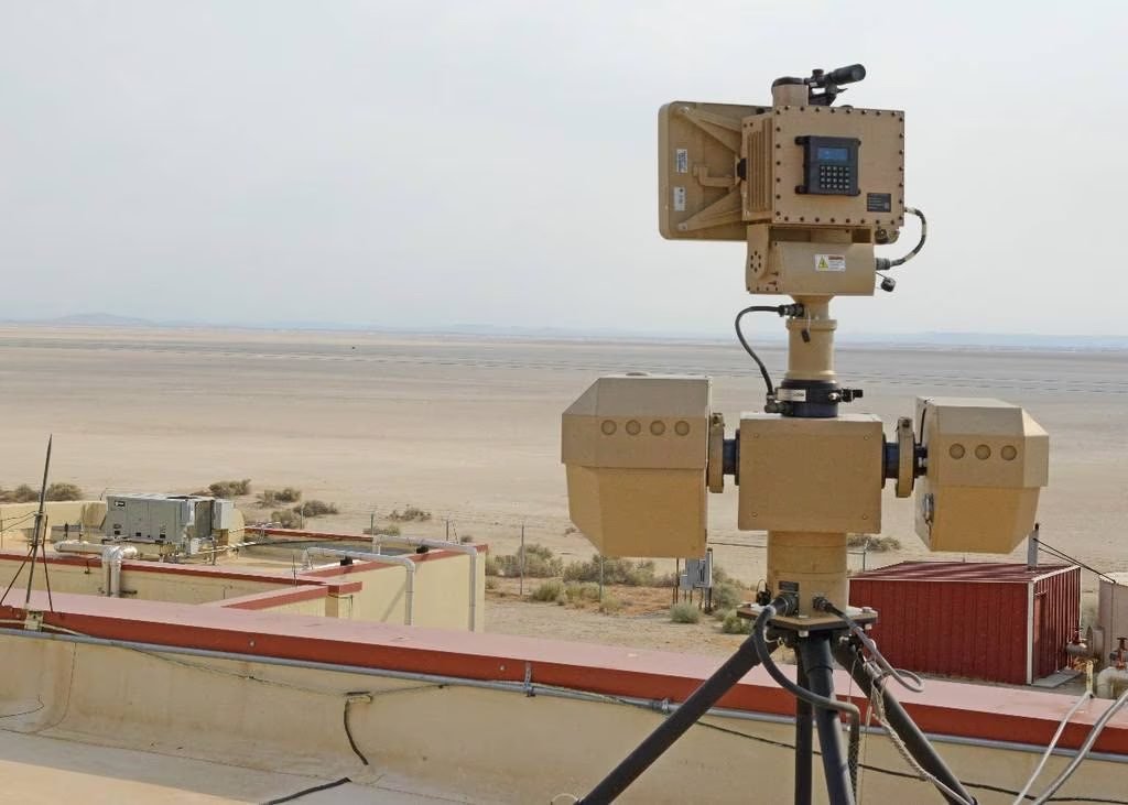
The army’s new battlefield surveillance system, called Project Sanjay, has undergone comprehensive trials in plains, desert and mountains, and it is now headed towards deployment, the officials said. The project will result in the setting up of scores of surveillance centres in the army’s field formations by December 2025, they said. Bharat Electronics Limited, Ghaziabad, is the project’s system integrator.
“Project Sanjay involves the integration of hundreds of sensors — ranging from satellite sensors to unmanned aerial vehicles to radars — and it will help present an integrated surveillance picture to commanders and staff at all levels. It will also complete the sensor-to-shooter grid in integration with the ACCCS,” said the second official.
The ACCCS, or Project Shakti, involves the upgradation of the army’s oldest and most successful operational information system with defence series maps, and several other new features that will optimise its functioning and enable application of artificial intelligence and machine learning on data aggregated through its exploitation, the officials said. Defence series maps are topographical maps of different scales with height, contours and full content without dilution of accuracy, and are placed under the restricted category.
The Indian Army is working towards attaining a comprehensive integration of concepts, capability, organisation and systems, said military affairs expert and former army vice chief Lieutenant General AS Lamba (retd). “Improved battlefield surveillance, faster decision making and appropriate weapon response using automated means and technology will help meet the challenges of the future,” Lamba added.
Project Anuman for weather forecasts with increased reliability and accuracy along the Line of Actual Control (LAC) is being pursued in partnership with the National Centre for Medium Range Weather Forecasting (NCMRWF) under the Ministry of Earth Sciences.
“Meteorological inputs are of great significance to commanders on the ground. The artillery uses them on a regular basis before firing projectiles. Data from NCMRWF has helped artillery fire more accurately. Under Project Anuman, the army will help NCMRWF collect observations along the Northern Borders (with China) and will receive, in near future, customised products for its components deployed there,” said the first official.
SAMA, another key project, is an in-house decision support system, developed in partnership with Bhaskaracharya National Institute for Space Applications and Geoinformatics (BISAG-N), an autonomous scientific society under the Ministry of Electronics and Information Technology. It will undergo field validation in a corps headquarters zone in May, the officials said.
“SAMA has successfully integrated inputs from ACCCS, battlefield surveillance system, e-Sitrep and other systems. The application has been designed to present a comprehensive battlefield picture to commanders at all levels based on authorisation and roles,” said another official.
E-Sitrep refers to situational reporting over an enterprise-class GIS platform. Situational reporting is the cornerstone of all operational correspondence, which keeps the operational staff working, the officials said. “This workflow has matured over the years, and over the last few months it has undergone a major transformation. From June 2023, situational reporting will start happening on an enterprise-class GIS platform configured for the army’s operational needs,” the second official said. The system will be first operationalised in the army’s operationally critical Northern Command in June 2023, with the other commands migrating to it later.
The ongoing infusion of technology will help rightsize the army, the officials said, without giving any numbers.
“One of the pillars of the transformational initiatives is the review of the army’s systems, processes and functions to make them efficient, outcome oriented and reduce manpower. In this, we are focussed on automation, digitisation and networking for enhancing the efficiency of procedures,” said the first official.


