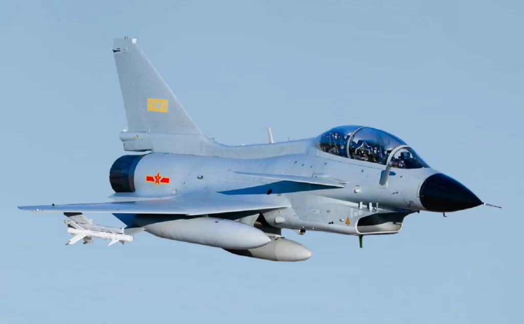
China has placed a large number of fighter jets, helicopters, airborne early warning control systems and air-to-air refuelling aircraft in three airfields in Tibet, as per a TimesNow report.
Over a dozen fighters, 37 helicopters and a dozen UAVs have been seen so far in Lhasa and Hoping/Shigatse. The warplanes in Lhasa are of different types and capabilities and include four J-10 Vigorous Dragons, a multi-role fighter, ten Shenyang J-11s, a twin-engine air superiority fighter similar to the Russian Su-27, and two J-7, which is comparable with the MiG-21.
Along with them is a Shaanxi KJ-500, an airborne early warning and control aircraft. It is a relatively modern version and can help the PLA Air Force to locate Indian aircraft. There is also a long-range air-to-air refuelling aircraft, the Y-20-U. This is a particularly important plane for the Chinese as the high altitude of the Tibet plateau makes it difficult for planes to carry full loads. As a result, the presence of an air-to-air refuelling aircraft is particularly important. It is an effort, experts say, to “offset geography.”
Earlier in 2018, after Doklam humiliation, China flexed its military muscles in the Tibet Autonomous Region (TAR) near the Line of Actual Control (LAC) by deploying massive number of fighter jets and troops in March that year.
China increased its air defence capability along the LAC in February 2018 and was maintaining a high level of alertness along the LAC. The People’s Liberation Army (PLA) had deployed 13 more Mi-17 helicopters, which has both transport and gunship versions, and 10 fighter jets in Hoping, 22 copters and 11 fighter aircraft in Gangga. The Lhasa Gonggar Airport is the largest airport in Tibet supporting the capital city of Lhasa. The recent Chinese action clearly show that China is enhancing the fighting capability of its air force in Tibet.
China is also using its BeiDou Navigation Satellite System near Brutse, in Aksai Chin, 10 km from LAC to watch Indian security forces. China has increased the number of satellites under the BeiDou Navigation Satellite System to 30. BeiDou uses satellites in geostationary orbit. This means that the system does not require a large constellation of satellites, but it also limits the coverage to areas on Earth where the satellites are visible.


